14 km · 15 minutes
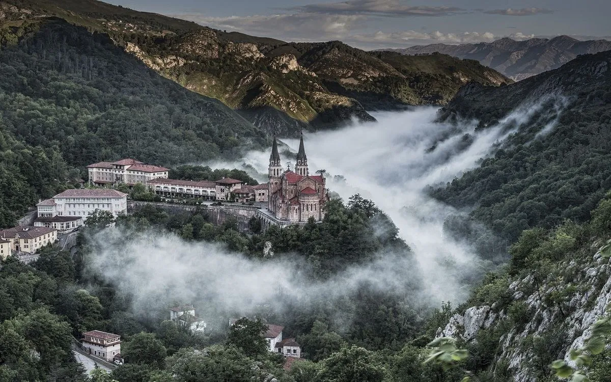
Covadonga
A pink basilica on a spur of rock, a chapel inside a cave with a waterfall beneath it, and the tomb of Pelayo, whose victory here in 722 began the Kingdom of Asturias. Go early, before the coaches.
A day at CovadongaThe region
Most of the world does not know Asturias exists. The people who do come back. Everything on this page is within an hour of the house, and most of it within half that.
Drive times from the house. The map is a sketch, drawn roughly to scale.
14 km · 15 minutes
A pink basilica on a spur of rock, a chapel inside a cave with a waterfall beneath it, and the tomb of Pelayo, whose victory here in 722 began the Kingdom of Asturias. Go early, before the coaches.
A day at Covadonga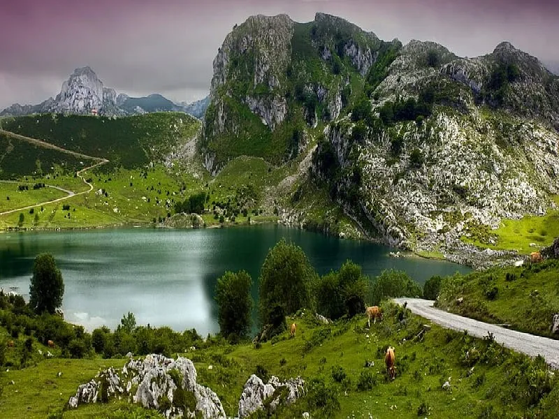
24 km · 30 minutes
Enol and Ercina, two glacial lakes high in the national park, joined by an easy two-hour loop. The road is closed to cars on most days now, so you go up by bus. We explain how.
Access rules and the lake walk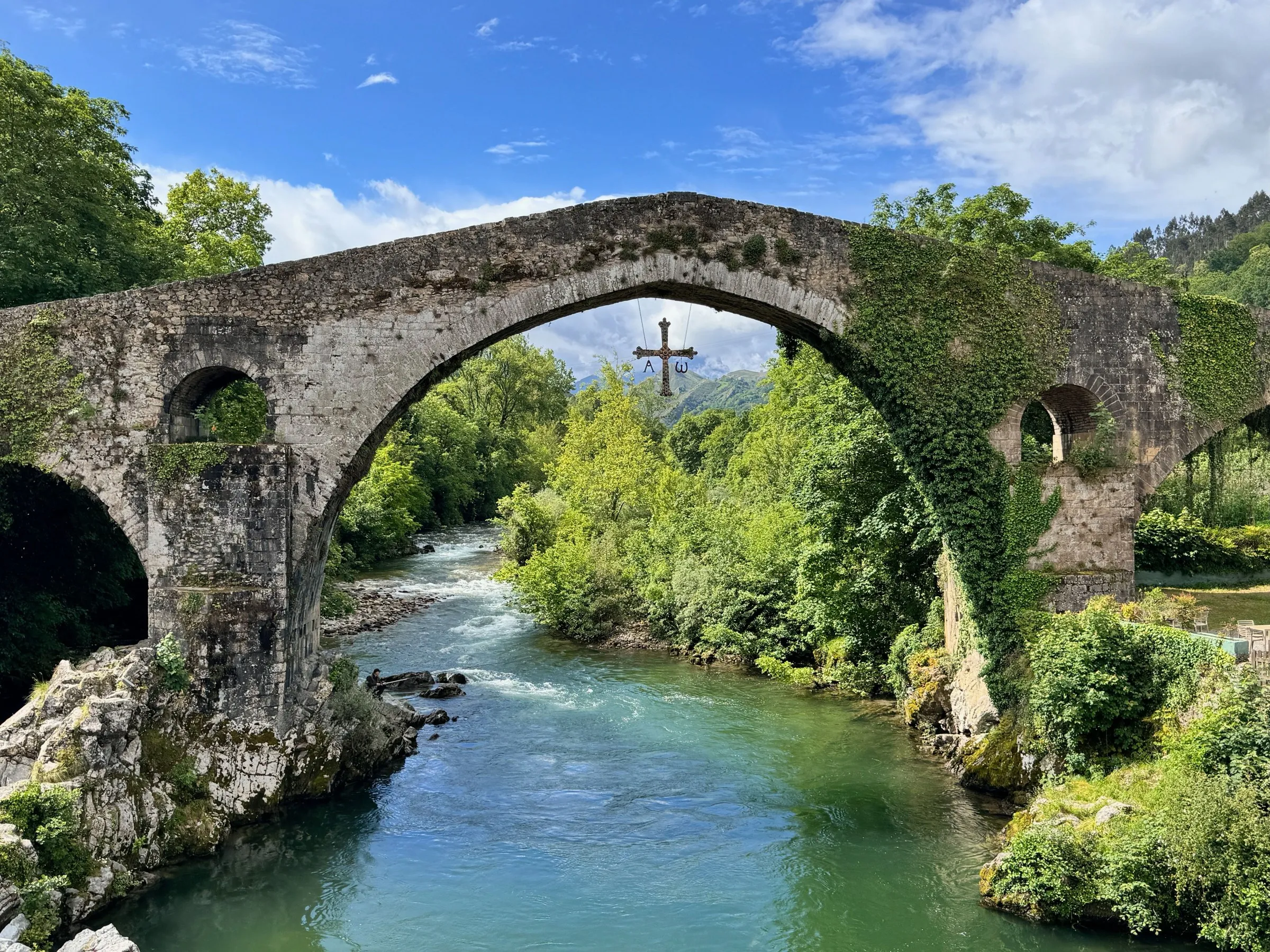
10 km · 15 minutes
The first capital of Asturias, with its humpbacked bridge over the Sella. On Sundays around a hundred stalls sell Cabrales, Gamonéu, faba beans and heather honey. Be there by ten.
Cangas de Onís, the gateway town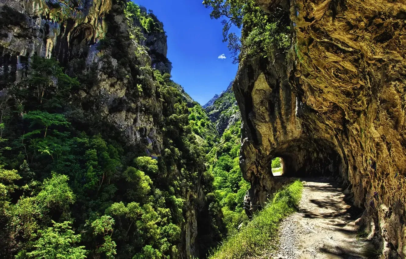
Trails from the door · Cares Gorge 35 minutes
Spain’s oldest national park. Walk straight out of the gate on the red-and-white waymarks, or drive to Poncebos for the Cares Gorge: twelve kilometres of path cut into the rock face.
The best hikes near the house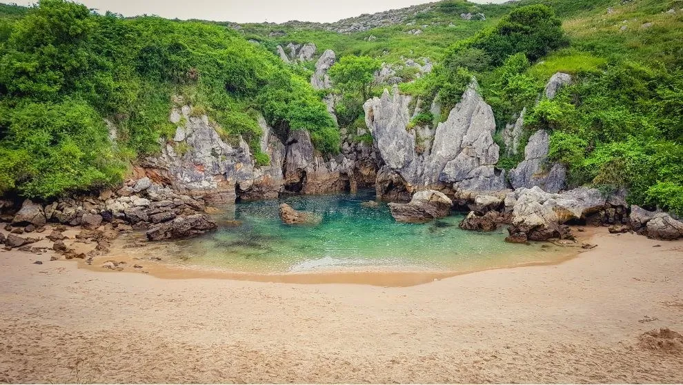
30 to 45 minutes
Green cliffs and cold clear water. Gulpiyuri is a tidal beach in the middle of a meadow, a hundred metres inland. Torimbia is a wild horseshoe cove reached on foot.
Beaches worth the drive
From 1.5 km
Cider poured from arm’s height. Fabada. A chuleta of Asturian veal over oak embers. San Martín Gastrobar in Mestas de Con is the closest table and Petra’s own first choice.
What to eat, and where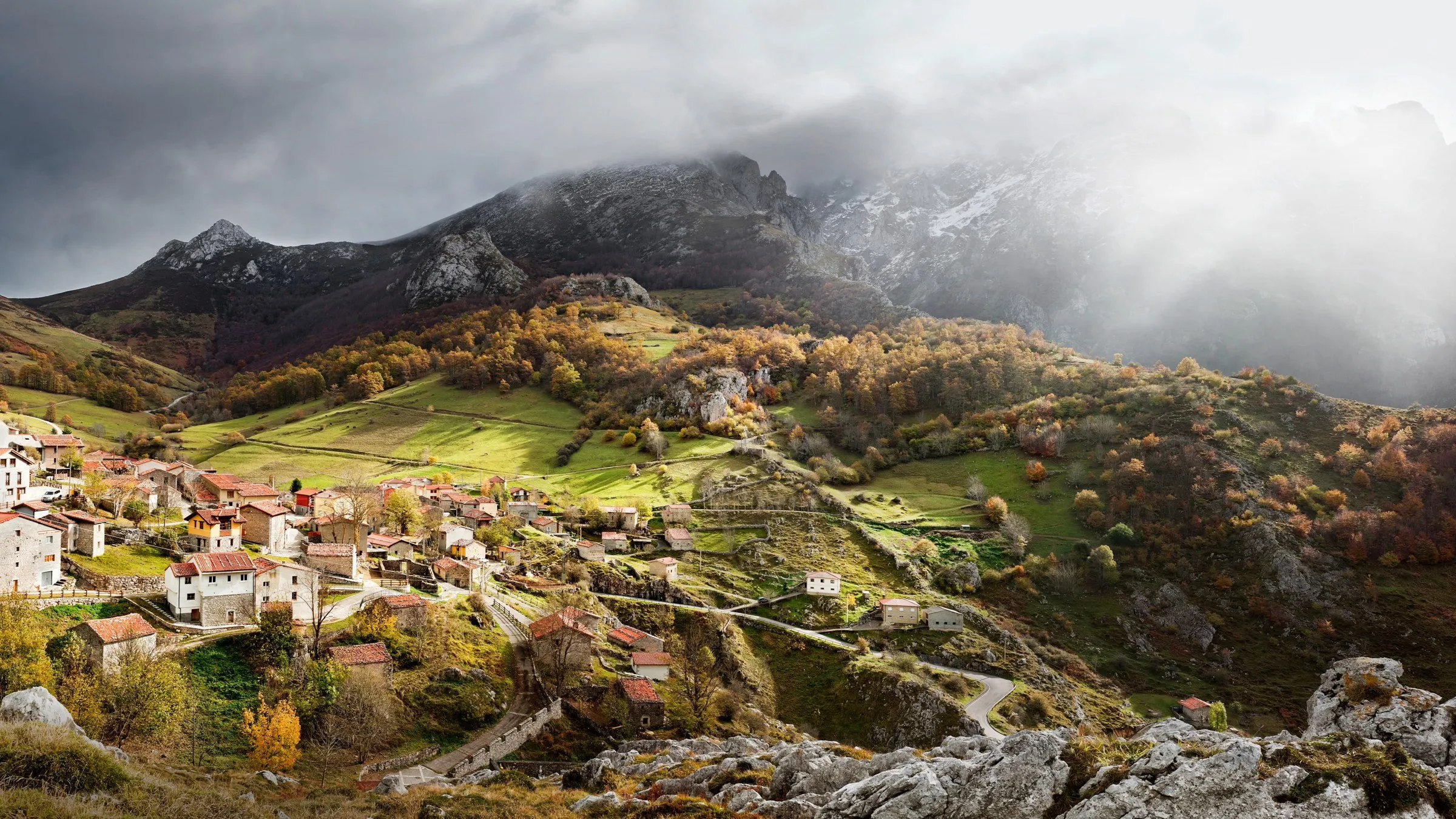
When to come
June and September are the best months: warm, green, and quieter on the trails and beaches. July and August are busy and bright. Spring brings snowmelt and waterfalls; autumn turns the beech woods copper and the stove earns its keep.
Pack a waterproof whatever the forecast says. A wet morning in the valley often clears to blue sky by noon.
Read the journalSeven nights is about right: two for the mountains, two for the coast, one for Covadonga, one for the market, and one for doing nothing at all.
Check availability